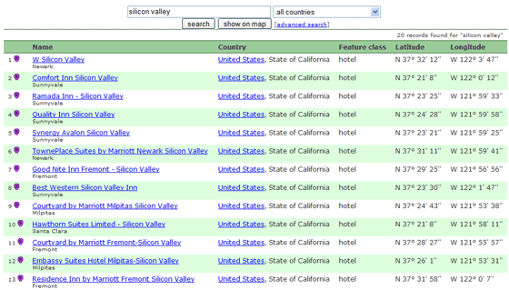
The GeoNames project is a free global geographical database.
The goal of GeoNames is to aggregate free data from various sources and make is available as a database or via a range of web services. Users of GeoNames include Microsoft Popfly, Slide.com, LinkedIn and Tagzania.
The GeoNames gazetteer includes over 8.5 million toponyms for 6.5 million places with 2 million alternate names in up to 200 languages. The information for places covers coordinates, administrative divisions, postal codes, population, elevation, timezone amongst others. GeoNames aggregates data from national mapping agencies, national statistical offices, national postal services as well as the US Army.
GeoNames answers questions such as: where is a place? what are its coordinates? which region or province does the place belong to? what city or address is near a given GPS latitude/longitude? Users of GeoNames typically need the data or web services for travel, real estate, online communities, store locators, vehicle tracking, address verification or applications dealing somehow with geography or maps. In April 2007 GeoNames reported 15,000 downloads of the database and 30 million web service requests.
A wiki style edit interface allows users to correct data and add new place names.
